
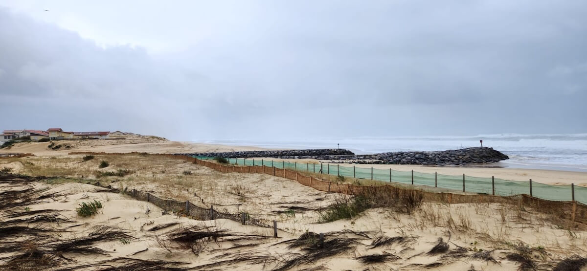
The shoreline is never fixed.
Coastlines are constantly changing, whether because of storms, tides or human activity. Climate change, which brings sea level rise and intensifies erosion, makes this evolution all the more visible, and above all more worrying.
At the same time, citizen engagement with local (and sometimes global) issues is taking new forms. It now goes well beyond basic actions such as answering a survey, and increasingly focuses on collecting data following rigorous protocols. The growing number of citizen science projects allows people to take a full part in building knowledge and, in a way, in supporting decision-making.
Among these projects, CoastSnap (and its local versions) allows anyone to take part in the rigorous monitoring of a beach’s evolution, over the long term as well as in the very short term, for example the day after a storm.
CoastSNAP: Citizen Science for Coastal Areas
CoastSnap is a community-based beach monitoring initiative. It is a citizen science project that relies on public involvement, and more specifically on the use of participants’ smartphones to photograph, from a fixed point and angle, how the coastline reacts to storms, sea level rise and other factors.
The goal is twofold: to monitor the state of the coastline in light of the major challenges it faces, and to help people better understand its natural evolution.
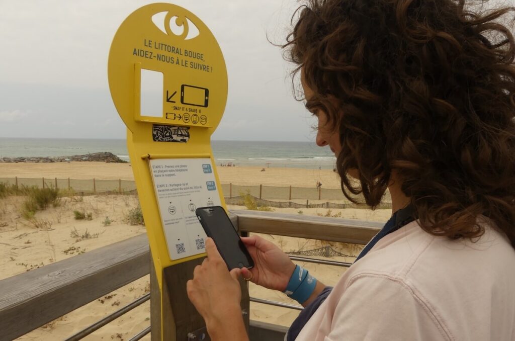
CoastSnap stations are placed at strategic, easily accessible coastal locations overlooking the beach. Each station is a stainless steel mount with a dedicated spot for a smartphone, which allows the photo to be framed precisely in a few seconds. Once the picture is taken, participants are invited to send it to a centralised database, by email or through the dedicated app.
The images received are analysed by image processing algorithms, which then map the position of the shoreline.
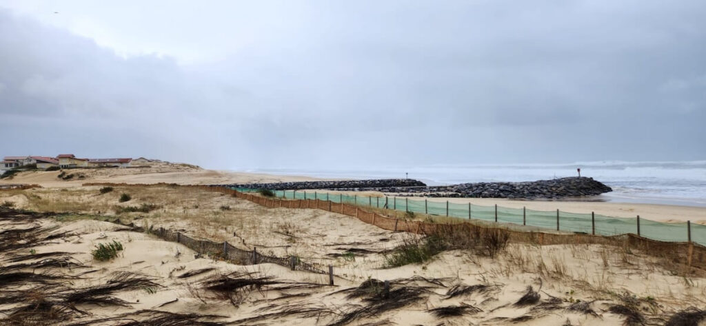
The initiative helps us better understand how the coastline works, using two approaches:
- high-frequency visual monitoring of its changes, for example through time-lapse videos;
- extraction of metrics using various image processing algorithms, including one that detects the land–sea boundary.
An Australian idea that conquered the world
CoastSnap was created in Australia in 2017, driven by the search for a low-cost, easily deployable method for observing beaches, as other tools such as topographic surveys and satellite imagery are often too expensive and limited in time. Two pilot stations were installed north of Sydney, and their data was used to develop the image processing algorithms.
Since then, the initiative has expanded widely, reaching Europe among other regions, thanks to scientific collaborations with one of its founders. It has been adapted to European territorial contexts through several research projects on shoreline monitoring and coastal dynamics.
Today, CoastSnap has around 350 stations in 30 countries, making it the largest coordinated land-based coastal monitoring programme in the world
Seaclic: monitoring the French shoreline in Mimizan, Landes
In France, and more specifically in Nouvelle-Aquitaine, coastlines are particularly affected by coastal erosion and marine flooding. This is why the Nouvelle-Aquitaine Coastal Observatory (OCNA) decided to test CoastSnap as early as 2021. Today, 8 stations are spread along the coast from Charente-Maritime to the Pyrénées-Atlantiques.
Surfrider, which is closely involved in coastal planning issues, launched the Seaclic project in Mimizan, in collaboration with the OCNA and the BRGM (the French Geological Survey). Its mission is to build a community of citizen observers around the Mimizan CoastSnap station and to raise public awareness of how coastal areas are changing.
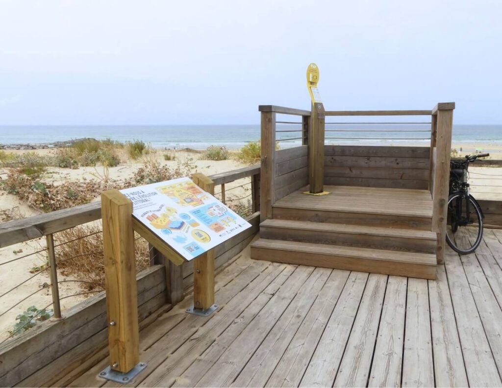
Volunteers taking part in the project are invited to visit the station regularly, and even more so during storms, in order to document the coastline’s evolution in real time through their photos.
A few days before a forecast event, an alert is sent to them. Each person can then go to the site, depending on their availability, to photograph the beach before, during (while taking care to follow safety guidelines!) and after the storm.
These pictures join a bank of citizen photos, which are compared and then analysed by scientists: sand height, silting, beach retreat, and so on.
What CoastSnap brings
Scientific benefits
→ Field campaigns, topographic surveys and satellite images provide valuable measurements at a given moment. Between two campaigns, the beach keeps moving and changing. One of CoastSnap’s strengths is to fill these gaps by smoothing out the collection of data on beach movements throughout the year.
→ Thanks to CoastSnap, citizens’ photos become measuring tools that document rapid, localised phenomena that are otherwise hard to observe: the effect of a storm, beach accretion or retreat, changes in sand level or vegetation. It makes it possible to study changes over both the short and the long term.
→ Once the images are processed, the tool proves accurate: photogrammetry can locate the shoreline with an accuracy close to that of professional surveys. CoastSnap thus complements the other tools used to monitor coastlines (LiDAR, or light detection and ranging, drones, GPS surveys and satellite imagery). In Morbihan, for example, photos from the stations are used to compare the state of beaches before and after a storm, alongside GPS surveys and drone flights.
→ New uses of the data collected are also emerging, such as monitoring algal blooms in Spain or turbidity plumes in Portugal.
Benefits for coastal management
→ CoastSnap data helps foster dialogue between elected officials, technical staff and citizens around a shared reality that is both visible and measurable. The images can document harmful uses of the coast, support certain operational interventions such as dredging or beach nourishment, and act as a “technical witness” after a marine weather event. They sometimes help local authorities put the urgency of action into perspective. For managers, they provide both visual and quantitative evidence to justify protection or maintenance measures for natural environments, and a way to anticipate coastal risks.
→ The tool can also be used to monitor coastal renaturation projects and soft shoreline management strategies based on nature-based solutions. In Germany, for example, it has been used to observe the evolution of restored salt marshes.
→ Finally, although this use is still very occasional and limited, it would be valuable if the visual “evidence” provided by CoastSnap could one day carry weight in structural coastal planning decisions.
Benefits for awareness-raising
→ CoastSnap works as a simple entry point to introduce the general public to complex scientific concepts and to build acceptance of management policies. It helps the community better appreciate the complex dynamics of the coastline (Harley & Kinsela, 2022).
→ Studies carried out so far distinguish two profiles: local residents, who build photo-taking into a regular walk, and more opportunistic passers-by, who contribute only occasionally.
It is hard to know whether taking part is enough to gain knowledge or change behaviour. Someone who takes a photo “just because” has not necessarily gone all the way towards real awareness, even if they send it in.
This is why it matters to develop explanatory panels about coastal movements near the stations, and to nurture a community that keeps coming back and deepens its understanding of local phenomena.
→ Above all, it is communication about the issues and the results that makes the difference. Seeing the concrete effect of their participation encourages people to take part again and take a closer interest in the subject, and therefore to take action.